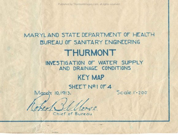
The maps were created by the Maryland State Department of Health Bureau of Sanitary Engineering and are dated March 10, 1913. They are signed by Robert B. Morse, Chief of the Bureau. There are several sanitary installations in Maryland named after Mr. Morse.

